
 EN
EN
Supports Ecological Monitoring, Species Research, Conservation Efforts, and Long-Term Wildlife Tracking.
The Data Gap That Conservation Can't Afford
Wildlife protection has a measurement problem.
The decisions that determine whether a species recovers or declines — where to establish protected corridors, when to intervene against poaching, how to allocate limited conservation budgets across competing priorities — all depend on field data. Population trends. Species distribution. Movement patterns. Behavioral timing. Habitat utilization across seasons.
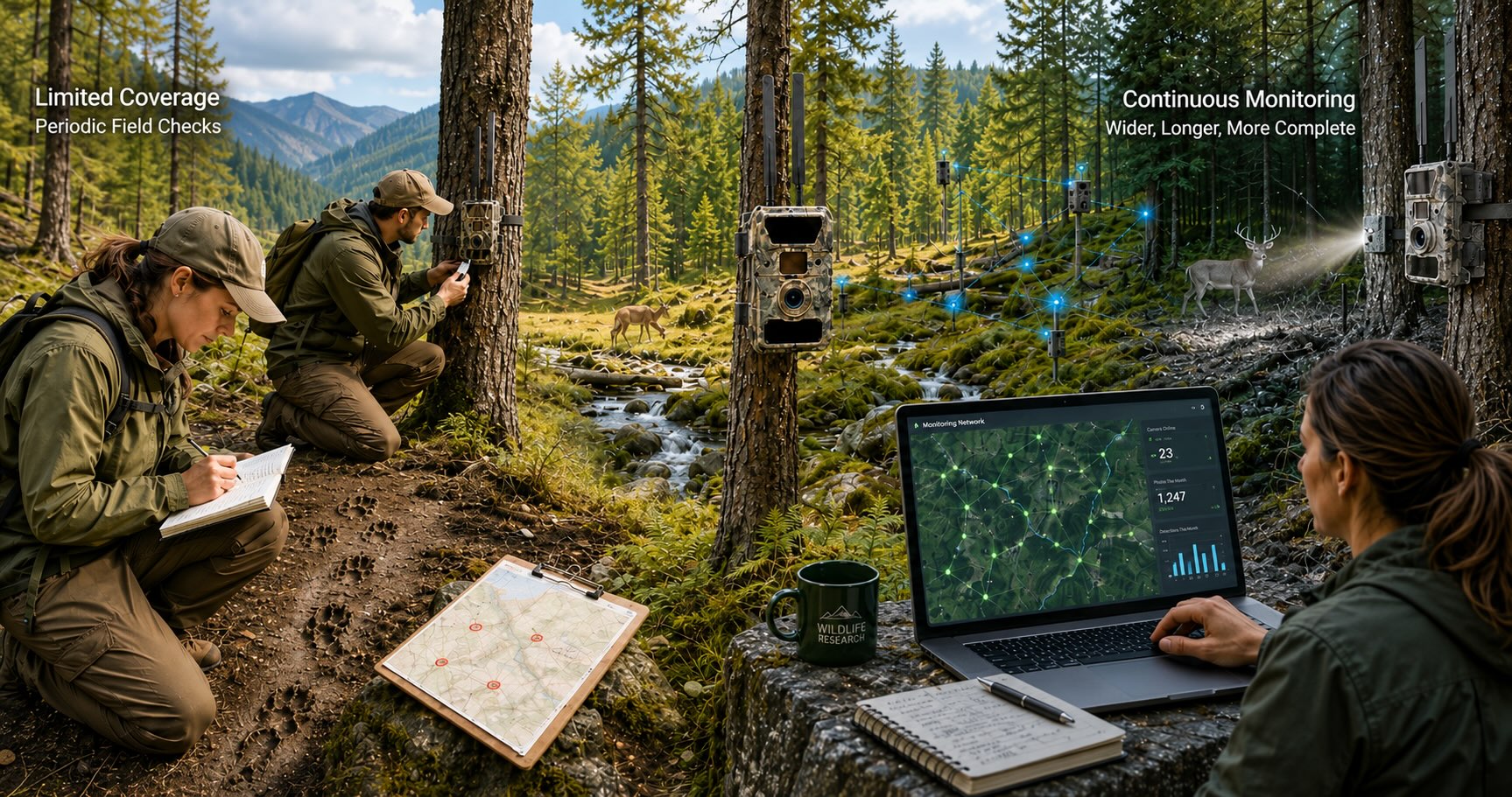
That data exists in nature. It is being generated continuously, by every animal moving through every landscape where conservation programs operate. The problem is collection. Traditional field monitoring methods — researcher observation, physical track surveys, periodic camera checks — are expensive in labor, limited in geographic scope, and discontinuous in time. A team of three researchers can monitor a finite area during daylight hours. They cannot monitor 50,000 acres continuously across a full year. They cannot be present for the nocturnal movement events that define many species' behavioral patterns. They cannot be everywhere that data is being generated.
The consequence is that conservation programs routinely make decisions on incomplete information — not because the information doesn't exist, but because the collection infrastructure to capture it continuously across large areas hasn't been accessible at a cost that conservation budgets can support.
That is the gap that Willfine's platform addresses. Not by replacing field researchers, but by extending what a research team can observe — geographically, temporally, and taxonomically — without proportional increases in labor cost.
Three Tools. One Monitoring Architecture.
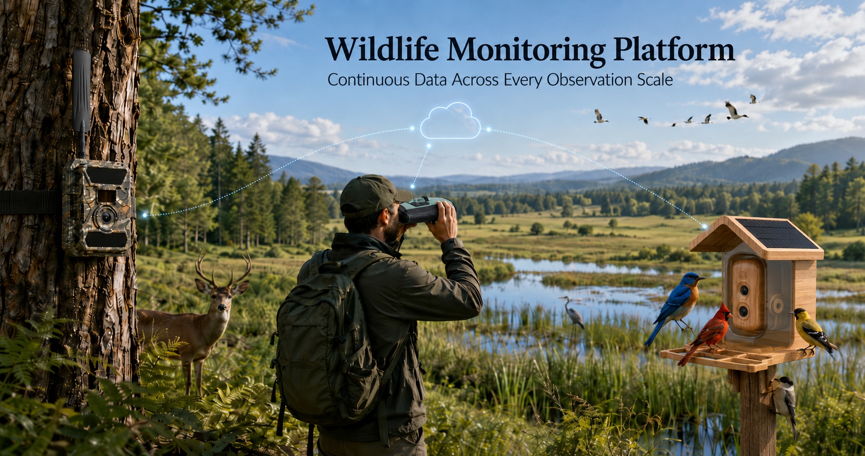
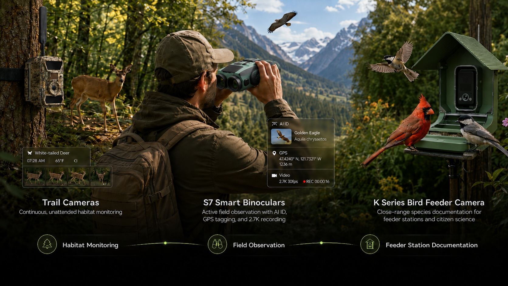
Willfine's wildlife monitoring platform brings together three product categories that address different observation scales and research contexts. Used independently, each solves a specific monitoring problem. Used together, they form a continuous data collection architecture that covers ground-level habitat monitoring, active field observation, and species identification — across scales from a single nest site to a multi-thousand-acre research territory.
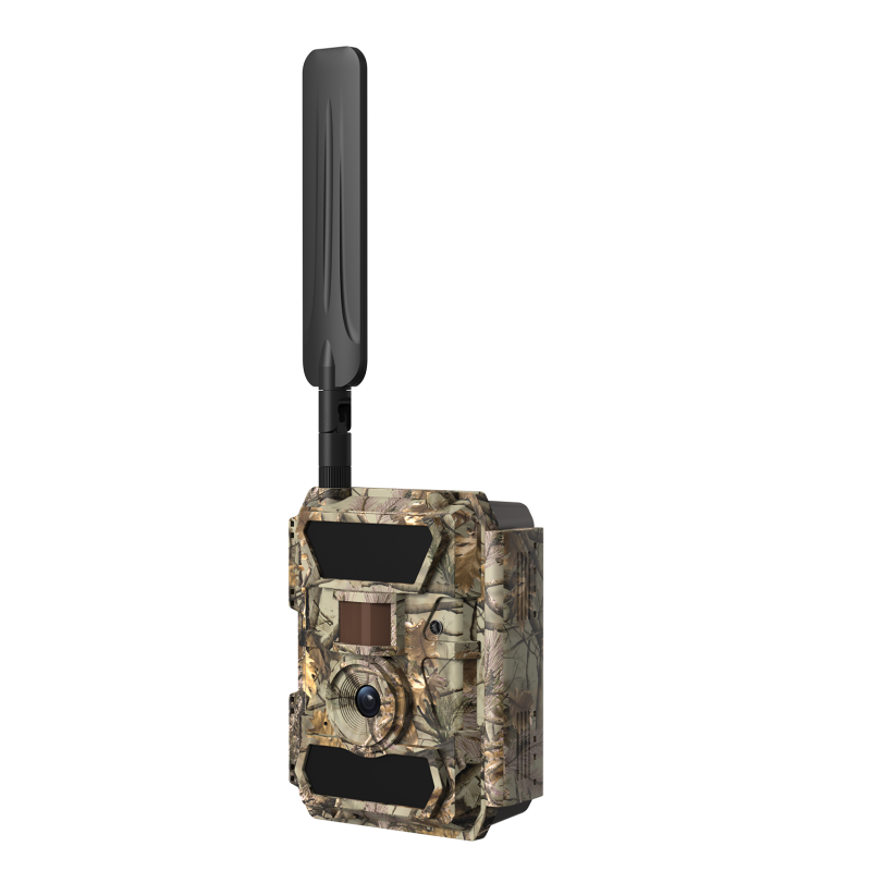
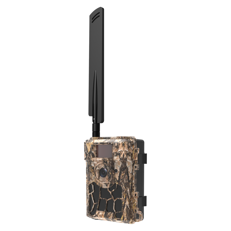
Trail cameras for continuous, unattended habitat monitoring — deployed at fixed locations to document species presence, movement timing, population frequency, and behavioral events over extended periods without researcher presence.
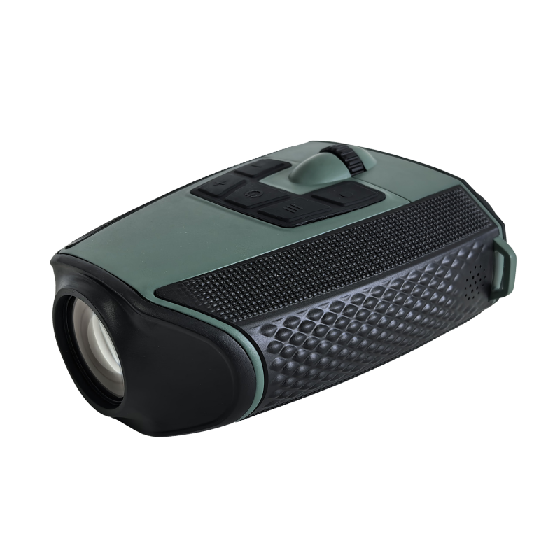
Smart binoculars (S7) for active field observation with integrated AI identification, GPS location tagging, and 2.7K video documentation — giving researchers in the field a tool that identifies, records, and geolocates simultaneously.
Bird feeder cameras (K series) for close-range species documentation at observation stations — providing high-resolution imagery, slow-motion behavioral capture, and AI identification in controlled feeder environments used for population monitoring and citizen science programs.
Each tool generates structured data. The platform that connects them — cellular transmission, cloud storage, GPS tagging, AI classification — determines whether that data is accessible in real time or locked in hardware waiting for a retrieval visit.
What Changes When Monitoring Becomes Continuous
The operational difference between periodic camera checks and continuous cellular monitoring is not just convenience. It changes what research is possible.
A trail camera that stores images to an SD card produces a data set that reflects the moments a researcher was able to visit the camera. A camera that transmits images in real time produces a data set that reflects what actually happened — including the events that occurred between visits, in weather conditions that prevented access, during the pre-dawn hours when target species were most active.
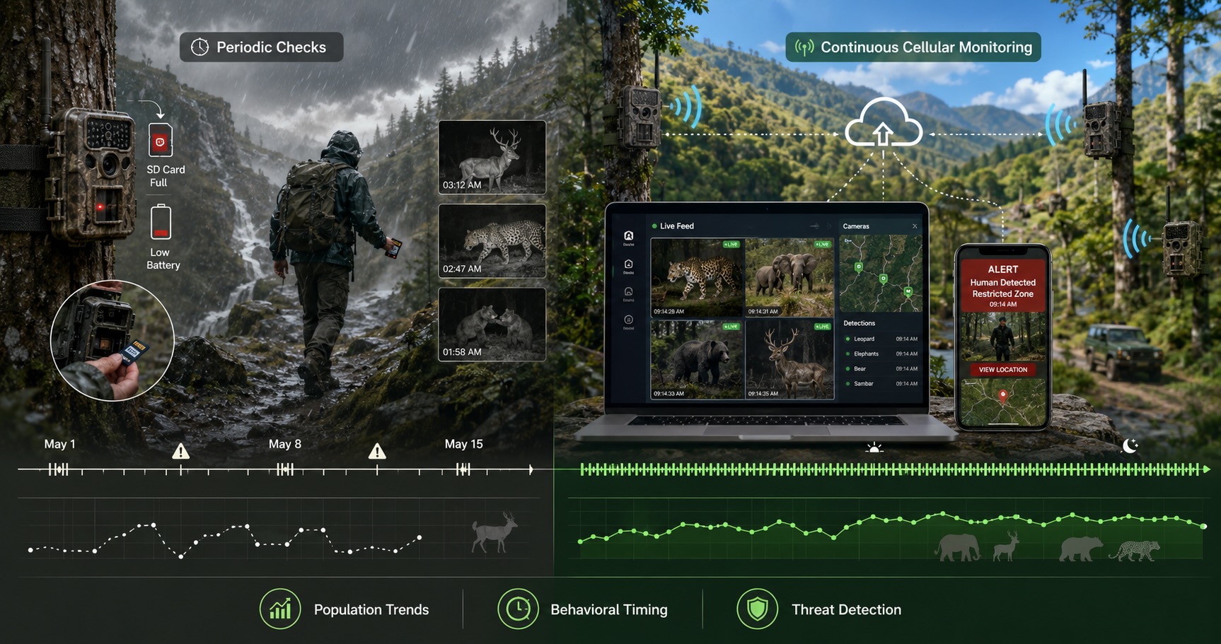
For population trend analysis, this matters because the completeness of the data set determines the reliability of the trend line. A monitoring program that captures 60% of trigger events — because cards fill up, batteries die, or access is restricted — produces trend data with a systematic bias that may not be visible in the results but is present in every conclusion drawn from them.
For behavioral research, continuous monitoring changes the questions that can be asked. When does this species begin pre-migration feeding activity? How does nocturnal movement frequency change across the rut period? How long after a disturbance event does normal behavioral patterns resume? These questions require temporal resolution that periodic monitoring cannot provide.
For anti-poaching and threat detection, the difference is more immediate: a real-time alert triggered by human presence in a restricted zone has intervention value. The same image discovered three weeks later on an SD card does not.
Trail Cameras: The Ground-Level Monitoring Network
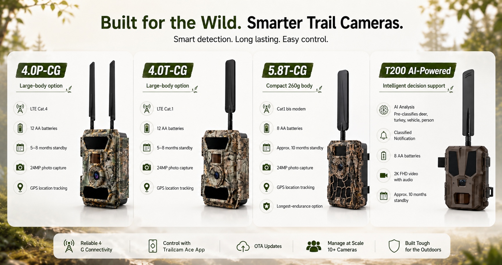
Willfine's trail camera lineup provides the backbone of a continuous ground monitoring network. Eight models across two body platforms and multiple connectivity tiers allow research programs to match hardware to specific deployment requirements — from low-power long-duration remote stations to AI-powered identification nodes at high-activity locations.
The monitoring architecture decisions that determine deployment success:
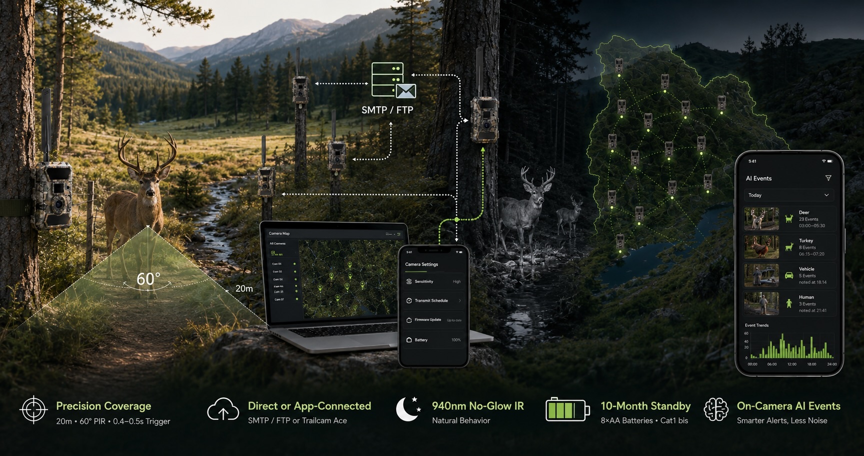
Coverage vs. resolution trade-off: A 20-meter detection range with a 60° PIR angle covers a specific zone. Programs monitoring linear features — trails, stream crossings, fence lines — need different placement logic than programs monitoring open habitat patches. The 0.2–0.4 second trigger speed across Willfine's lineup determines how much of a subject's approach is captured rather than just departure — directly affecting the usability of images for individual identification and behavioral coding.
Transmission architecture: Protocol-based models (4.0T-CG, 5.8T-CG) deliver images via SMTP or FTP directly to research infrastructure — compatible with existing data management systems without requiring app adoption. App-connected models (4.0P-CS, 5.8CS, 4.0T-CS) integrate with the Trailcam Ace platform, enabling remote camera management, OTA updates, and cloud storage across a distributed camera network. For research programs running multiple cameras across large territories, the ability to adjust sensitivity settings, change transmission schedules, and update firmware without physical camera access is an operational capability, not a convenience feature.
Night vision specification: 940nm no-glow infrared across all models means the camera's presence is not detectable by the animals being monitored. For behavioral research where natural behavior is the subject — not human-habituated behavior — the distinction between a camera that animals learn to avoid and one that remains transparent to them matters for data validity.
Battery endurance at deployment scale: A monitoring program running 30 cameras across a remote research territory has a maintenance labor cost attached to every battery replacement visit. The 5.8T-CG's approximately 10-month standby rating on 8 AA batteries — achieved through Cat1 bis modem architecture optimized for low-power consumption — reduces that maintenance frequency in a way that compounds across a large camera network. At 30 cameras, the difference between 6-month and 10-month battery life is 15 fewer field visits per year.
AI classification at the camera level:
The T200's AI-powered subject classification — identifying deer, turkey, vehicle, human, and other categories before transmission — changes how research teams interact with high-volume image data. A camera deployed on a busy trail crossing may trigger hundreds of times per week. AI pre-classification means the research team receives structured event data — "ungulate, 23 events, Tuesday 0300–0530" — rather than hundreds of undifferentiated images requiring manual review. For programs analyzing activity timing and frequency rather than individual identification, this changes the scale at which a small team can operate.
S7 Smart Binoculars: Field Research in Active Observation Mode
The S7 addresses the observation context that trail cameras cannot cover: active field research, where a researcher is present and needs to observe, identify, document, and geolocate simultaneously without interrupting the observation to manage multiple devices.
Conventional field observation requires a researcher to carry binoculars for observation, a camera for documentation, a field notebook or GPS device for location recording, and a species reference for identification — and to coordinate all four while maintaining enough stillness not to disturb the subject. The S7 integrates all four functions into a single device.
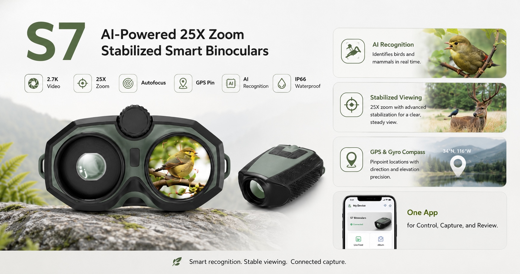
25× optical zoom with electronic image stabilization: At 25× magnification, handheld optical instruments produce images that are unusable due to movement amplification. The S7's EIS system stabilizes the image at full zoom, enabling researchers to observe and document subjects at distances that would otherwise require a tripod-mounted spotting scope. The 40.8mm objective lens and 0.49" AMOLED dual display (1920×1080 per eye) render the stabilized image with the clarity required for plumage assessment, individual marking identification, and behavioral coding.
AI species identification at 95% accuracy: The S7's AI recognition system covers 10,000+ bird species and 30 mammal categories. In Bird Mode and Animal Mode, the researcher frames the subject, triggers identification, and receives the species name overlaid on the display — without breaking observation to consult a field guide or submit an image for later review. For survey work where species composition data needs to be recorded rapidly across a large area, this changes the throughput of what a single researcher can document per field hour.
GPS location tagging with gyroscope-based positioning: Every observation event can be geotagged with the S7's integrated GPS and gyroscope compass system. The gyroscope provides directional data that GPS alone cannot — the bearing from the observer's position toward the subject — enabling precise location recording of observed animals without requiring the researcher to physically reach the subject's location. For mapping species distribution across territories with difficult access terrain, this capability is significant.
2.7K video documentation with live streaming: The S7 records at 2688×1520 resolution — sufficient for documentation footage that supports behavioral analysis, grant reporting, and public communication. Live streaming via the companion app enables remote researchers or program directors to observe field conditions in real time without being present. For training programs where field supervisors need to observe junior researchers' technique, or for citizen science programs where participants document observations for expert review, this creates a collaborative observation capability that conventional binoculars cannot support.
6-hour battery life with IP66 weatherproofing: Full-day field sessions in research contexts are the norm, not the exception. The S7's 6-hour battery covers a standard field day without recharging. IP66 weatherproofing and -25°C to 55°C operating temperature range cover the environmental conditions across which serious field research is conducted — including early-morning surveys in cold weather and extended sessions in rain.
Laser rangefinder (customizable): Distance estimation is a consistent source of error in field observation data. The S7's optional LRF integration enables precise distance measurement at the moment of observation, improving the accuracy of behavioral data (feeding distance, flight initiation distance, territory radius estimates) without requiring separate rangefinder equipment.
K Series Bird Feeder Cameras: Controlled Observation Stations
The BK600, BK750, and BK800 address a specific monitoring context: documented observation at established feeder stations used for population monitoring, breeding record programs, and citizen science data collection.
Feeder station cameras differ from trail cameras in what they are optimized to capture. The subject distance is controlled and consistent. The challenge is image quality at close range, behavioral detail in fast movement, and the species identification accuracy that determines the scientific value of the data collected.
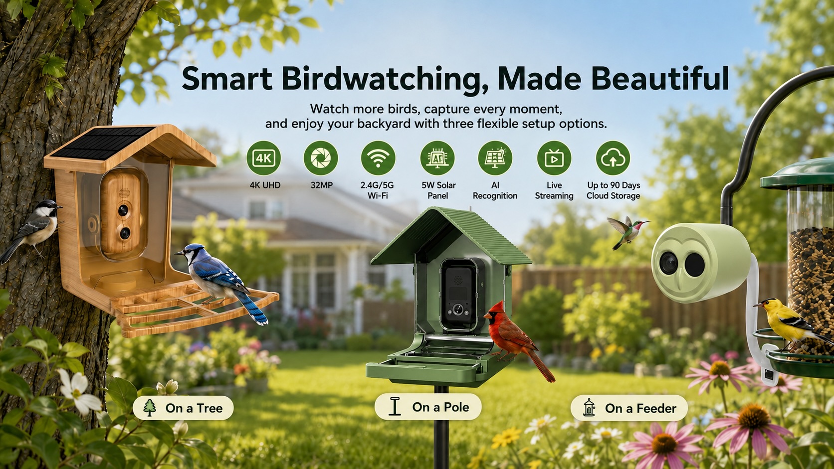
4K imaging with true color reproduction: At close feeder distances, 4K resolution reveals individual variation in plumage that lower-resolution systems cannot capture — variation that matters for individual identification in long-term population monitoring, for documenting age and sex ratios in breeding season surveys, and for recording rare or unusual species with the image quality that supports reliable confirmation.
6× slow-motion capture: Wing beat patterns, feeding behavior sequences, and interaction events at feeder stations occur faster than standard video frame rates can document usefully. The BK series' slow-motion capability extends these events into footage that can be analyzed behaviorally — relevant for research programs studying feeding ecology, interspecific competition at feeders, and parent-offspring interaction during breeding season.
AI identification with push notification: The BirdKam app delivers species identification and push alerts when target species are detected — enabling monitoring programs to track first arrival dates, peak activity windows, and departure timing without continuous human monitoring of the feed. For phenology research programs tracking seasonal timing across multiple sites, this creates a scalable observation network that a small team can operate.
Form factor range for deployment flexibility:
-
The K750's integrated feeder station design and 10,000mAh battery with full-color night vision supports year-round monitoring programs including nocturnal activity documentation.
-
The K800's compact palm-sized body attaches to any existing feeder structure — relevant for programs that need to instrument existing monitoring stations without replacing infrastructure.
-
The K600's 130° distortion-corrected wide-angle lens and solar charging support remote feeder stations where power access is limited and wide-area coverage is more important than tight-frame close-up detail.
What This Means for OEM Buyers Serving the Research and Conservation Market
Conservation organizations, research institutions, government wildlife agencies, and NGOs operating wildlife monitoring programs represent a procurement profile that is distinct from the consumer hunting and birdwatching markets. The purchase decision involves multiple stakeholders, longer evaluation cycles, and requirements that include data export compatibility, multi-unit pricing, and documentation of technical specifications adequate for grant reporting and regulatory compliance.
For OEM buyers building products for this market — scientific equipment distributors, conservation technology companies, institutional supply organizations — the relevant platform capabilities are:
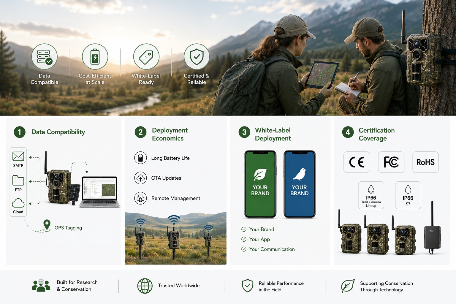
Data infrastructure compatibility: Protocol-based transmission via SMTP and FTP is compatible with existing institutional data management systems. Cloud storage via the Trailcam Ace and BirdKam platforms supports programs that need centralized data access across distributed field teams. GPS tagging across trail cameras and the S7 enables GIS integration for spatial analysis.
Multi-unit deployment economics: Battery endurance, OTA update capability, and remote management across large camera networks reduce the field labor cost of operating at scale — a direct operating budget consideration for programs running dozens or hundreds of monitoring stations.
White-label deployment: Both the Trailcam Ace and BirdKam app platforms are available for white-label deployment, allowing institutional buyers or OEM partners to present the platform under their own brand identity — relevant for conservation organizations that need consistent branding across donor communications and public-facing monitoring programs.
Certification coverage: CE, FCC, RoHS, IP66 across the trail camera lineup and IP66 on the S7 cover regulatory requirements for deployment in North American and European protected areas.
Product Specification Summary
Trail Cameras — Key Models for Research Deployment
T200
T100 Pro
4.0T-CS
5.8T-CG
4.0P-CG
Best for
AI classification nodes
Live observation posts
HD on-demand review
Long-duration remote
High-res documentation
Connectivity
Cat1 + App
Cat1 + NFC + Live
Cat1 + Cloud
Cat1 bis
Cat.4
Photo
5MP / 2K video
12MP / HD request
32MP / HD request
32MP
24MP
Night vision
54pc 940nm
54pc 940nm
940nm
60pc IR
57pc 940nm
Trigger
0.4–0.5s
0.5–0.6s
~0.4s
0.4–0.5s
0.4s
Battery
8 AA
12 AA · 6–8 mo
12 AA
8 AA · ~10 mo
12 AA · 5–8 mo
GPS
—
✓
✓
✓
✓
AI
✓ Subject classification
—
—
—
—
Waterproof
IP66
IP66
IP66
IP66
IP66
S7 Smart Binoculars
| Parameter | Specification |
| Magnification | Optical 1–25× |
| Video resolution | 2688×1520 (2.7K) |
| AI recognition | 10,000+ bird species · 30 mammal categories · 95% accuracy |
| Display | Dual 0.49" AMOLED · 1920×1080 |
| Image stabilization | EIS |
| GPS / Compass / Gyroscope | ✓ / ✓ / ✓ |
| Live streaming | ✓ |
| Battery | 6 hours |
| Waterproof | IP66 |
| Operating temperature | -25°C to 55°C |
| LRF | Customizable |
| Weight | 980g |
K Series Bird Feeder Cameras — Research Context
| BK600 | BK750 | BK800 | |
| Best for | Wide-area remote stations | Year-round full-feature monitoring | Instrumentation of existing feeders |
| Resolution | 4K | 4K · Sony 8MP | 4K |
| Night mode | B&W | Full color | B&W |
| Battery | 5000mAh + solar | 10000mAh | 3000mAh |
| Field of view | 130° (distortion-corrected) | 94° | 94° |
| AI identification | 10,000+ species · 95% | 10,000+ species · 95% | 10,000+ species · 95% |
| Slow motion | ✓ | ✓ | ✓ |
| Waterproof | IP66 | IP66 | IP66 |
Evaluate the Platform for Your Conservation or Research Program
Willfine provides technical documentation, multi-unit pricing, sample unit access, and app platform demonstration for institutional buyers and OEM partners serving the wildlife research and conservation market. White-label deployment terms for both the Trailcam Ace and BirdKam platforms are available under NDA for qualified buyers.
Contact Willfine to request the wildlife monitoring platform brief.